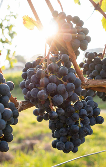
Welcome to Wine Country
Terroir
Warm Days, Cool Nights, Accentuated Fruit Flavours
In 1984 Agriculture Canada and the Association of British Columbia Grape Growers published a remarkable book that is still referred to today. It included detailed maps that identified the best places for planting vines. Sites in and around Okanagan Falls proved to have some of the best potential in the region. With highly-rated soils in Class one or Class two, a low risk of autumn frost, and ratings for solar radiation measurement and growing degree days that showed how well suited the lands are, there is no doubt that the Okanagan Falls and Skaha Lake area is very desirable for vineyards.
This has been further confirmed by the assignment of two sub-GIs(sub-geographical indicators): Okanagan Falls and Skaha Bench. The sub-GI of Okanagan Falls was only the second to be designated in British Columbia. This gives wineries the ability to identify wines made from grapes from these geographical areas.
Soils and topography of the area are characterized by the hills made of bouldery gravel, ideal for providing proper drainage, and the steep slopes. The soils can vary greatly from vineyard to vineyard, with sites of gravel, some with clay and those classed as sandy loam.
Geology
A Unique Land Like No Other
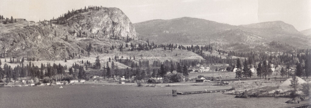
A hike to the top of Peach Cliff, with an elevation of 600 meters, affords a great view over Okanagan Falls and Skaha Lake. The hike is also a walk through geological history. Peach Cliff was formed during explosive volcanic eruptions 50 to 60 million years ago. Peach Cliff was rounded off by the four to six ice ages that swept across the Okanagan Valley.
What geologists call the Okanagan Valley Fault swings around the east side of Peach Cliff. The fault extends south down the middle of the valley and north along the eastern side of Skaha Lake. The rocks and often the soils on the two sides of the valley do not match up. Most Okanagan Falls vineyards are on the east side of the fault while those on Hawthorne Mountain and Kaleden are on the western side of the fault.
Skaha Lake once emptied into a river over a robust waterfall that can be seen only in early photographs of the community. The falls vanished after 1946 when a dam was installed here to moderate the peak flows down the river each spring.
Just over a kilometer east of Okanagan Falls, on the northeastern side of Peach Cliff lies Dusty Mac open pit mine which has since ceased production. It was a brief-lived but prodigious mine, producing 10.5 tonnes of silver, 0.6 tonne of gold and minor values of copper and zinc.